
Future Plans
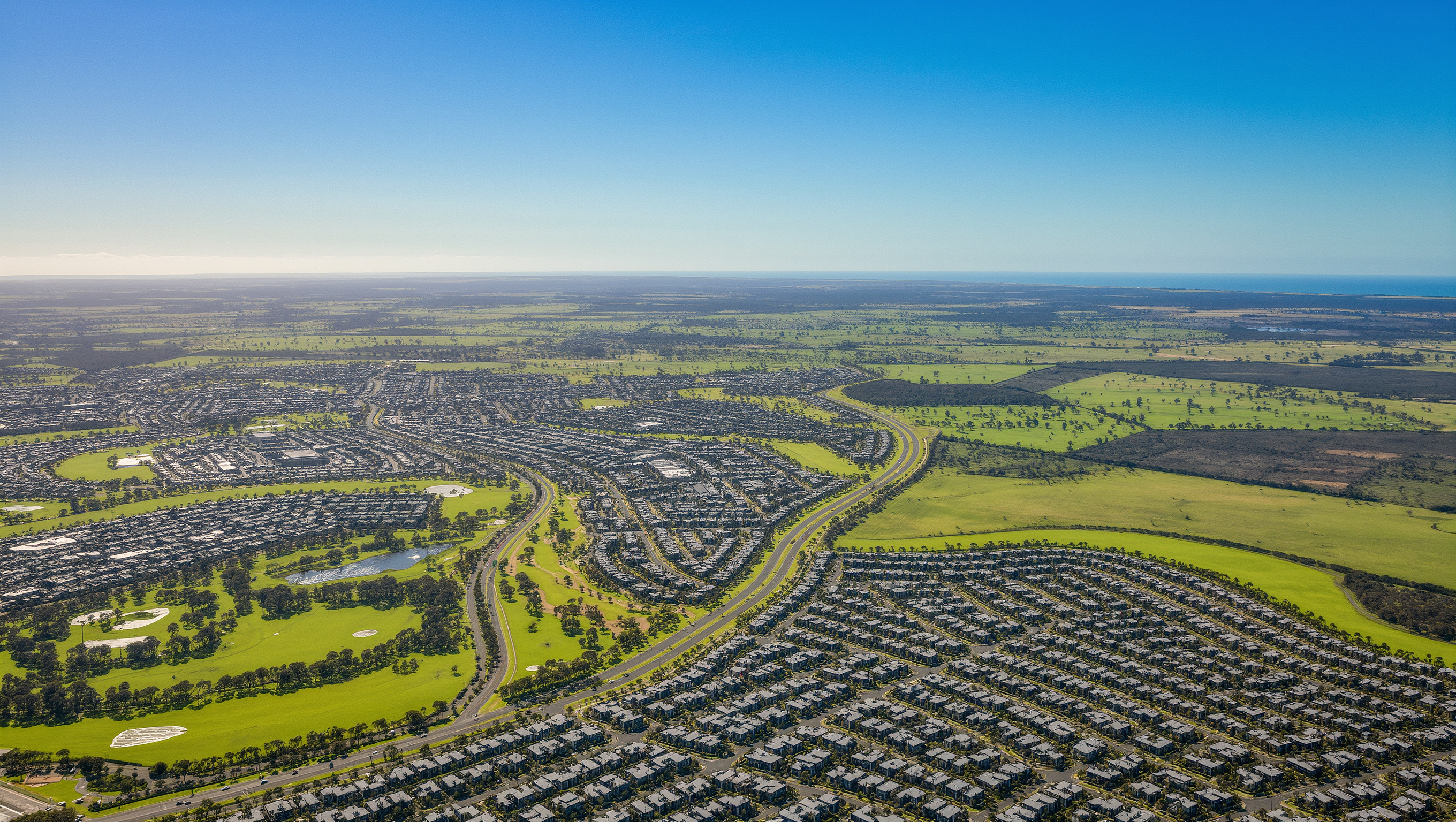
The blueprint that shapes Lockerbie North.
A gazetted Precinct Structure Plan — long-term, coordinated, and accountable to Victorian planning policy.
~4,400
Homes at build-out
~12,400
Future residents
Two
Planned town centres
4
Planned schools (govt & non-govt)
515 ha
Precinct area
Green spine
Open space & conservation network
Source: Victorian Planning Authority — Lockerbie North PSP (gazetted 2012).
Indicative delivery timeline
Stage 1
Enabling works
Roads, drainage and utilities put in the ground.
Stage 2
First homes
Initial residential releases and first move-ins.
Stage 3
Town centre
Planned local retail, community facilities and jobs.
Stage 4
Maturing community
Schools, parks and infrastructure fully activated.
The official plan
Straight from the Victorian Planning Authority.
Approved — gazetted 28 June 2012 (Amendment C082, Mitchell; and C162, Whittlesea). DCP amended by GC75 (9 Nov 2017) and VC249 (15 Jan 2024). East of the Beveridge township.
PSP documents are published by the Victorian Planning Authority. HALP links to the official source and does not host or alter them.
Artist's impression — indicative only